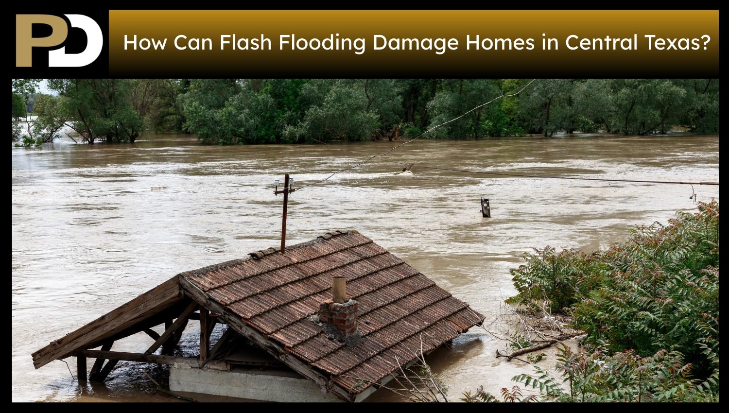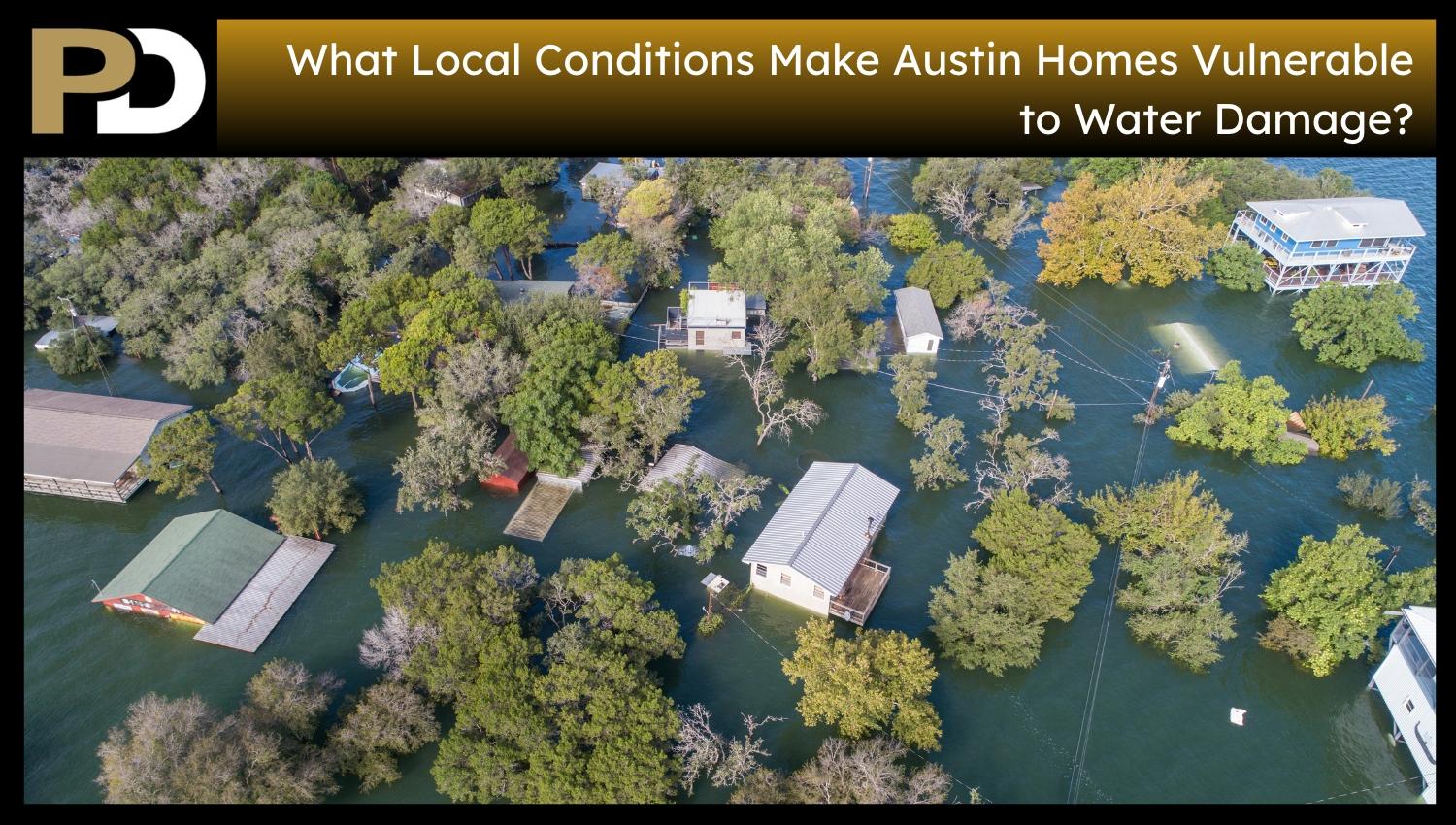
Homes close to the shoreline or channel of a creek, tributary, lake, or floodplain face water intrusion from rising water along the channel or shoreline. This exposure differs from that caused by neighborhood rainfall and local drainage constraints. Austin Watershed Protection describes that all creeks and lakes have a floodplain, even if not mapped, and that the floodplain flood when water levels in the creek or lake rise above normal. The extent of exposure vary with the property’s location, its elevation, and the nature of the creek or lake section under consideration. Lake Travis and Lake Austin differ because they serve different purposes in regional water management. Understanding these distinctions is key to understanding why flood exposure near waterways doesn’t always match what general rainfall patterns suggest.
What Does It Mean for an Austin Home to Be in or Near a Creek or Lake Floodplain?
A floodplain is a flat expanse of land that fill with water when a creek, river, or lake overflows its banks. An Austin home’s floodplain exposure is more than the straight-line distance to the closest waterway. Elevation and the property’s location relative to the area floodwater reach also play a role in whether floodwater reaches the property. Austin Watershed Protection estimates that 10per centt of the City of Austin’s land is in a floodplain, and they say each creek and lake in the City has on,e even if it isn’t shown on an official map. The 100-year floodplain, also called the 1% annual chance floodplain, is a commonly used reference for an area with a 1% chance of flooding each year. The designation does not mean flooding occurs only once every 100 years, and being inside the mapped area does not necessarily mean a property floods annually. A house not located in the mapped floodplain does not mean there is no risk of flooding. The key difference is whether a property sits on land that floods under the specified conditions.
How Is Creek Overbank Flooding Different From Local Storm-Drain Flooding Near a Home?
Creek overbank flooding occurs when the water level rises above the creek’s natural channel and flows onto the floodplain. This creates an exposure type directly linked to the waterway and adjacent land. The house does not border the creek; so it does not floods if water overflows the creek bank. Local storm drainage flooding is another avenue. It happens when stormwater cannot flow quickly enough through streets, inlets, ditches, or otherneighbourhoodd storm drains to reach the creek before it builds up in streets and yards. This type of flooding is localised and is not considered a creek flood because it does not result from a waterway breaching its banks. Austin Watershed Protection differentiates it from creek flooding. The two processes occur in different places and during the same rainstorm. The primary distinction is the source of the flooding: creek overbank flooding occurs when water crosses the creek’s channel boundary, and local drainage flooding occurs when water accumulates outside the local drainage’s channel boundaries.
Why Can Homes Near Tributaries and Smaller Creeks Flood Even When Lake Travis Is Storing Floodwater?
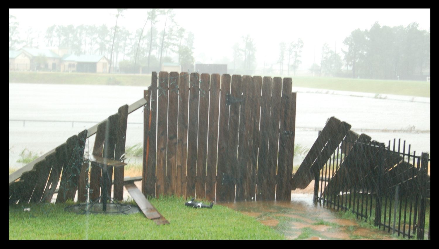
Lake Travis provides substantial flood storage for flows traveling down the Colorado River to Mansfield Dam, and these flows reduce downstream flooding impacts. this type of storage does not stop all floods in the larger watershed. Lake Travis can’t stop flooding from tributary creeks and streams or from rain falling downstream of Mansfield Dam, the Lower Colorado River Authority says. Smaller creeks is an additional flood source outside the Colorado River System. Flooding is still affect a house near an Austin-area tributary even if the lake is impounding floodwaters. Lake conditions do not represent the conditions of all adjacent creeks or drainage areas. This difference exists because different portions of a watershed respond to rainfall and transport water in different ways. A home’s exposure near a tributary depends on the creek and the floodplain surrounding it, not just on conditions at Lake Travis.
How Can Lake Austin’s Pass-Through Operation Affect Shoreline Flood Exposure?
Lake Austin is a smaller pass-through reservoir between Mansfield Dam and Tom Miller Dam, unlike Lake Travis. Unlike Lake Travis, Lake Austin does not hold water as additional flood storage. The City of Austin calls Lake Austin a pass-through lake, and the Lower Colorado River Authority states that pass-through lakes rise significantly above their normal operating level during floods. Lake Austin is normally operated between a minimum and maximum range, but water levels will fluctuate during significant floods. This is especially true for properties close to the shore, as the lake’s normal appearance and level do not mean water will always stay within the normal range. Shoreline exposure depends in part on changes in water level during flooding and the property’s relative location relative to the lake. Lake Austin’s pass-through role is an important consideration for water exposure near the shoreline.
Why Can Flood Exposure Change From One Stretch of an Austin Creek to Another?
Water levels and flooding is differ from one area of a creek to another. Flooding is differ along the same creek, depending on the area. Tributary additions is significant at specific locations, and changes in channel configuration affect flow velocities within a reach. Narrow sections, natural changes in channel geometry, and man-made constrictions such as roadway crossings also affect local water-surface elevations. A City of Austin hydraulic analysis of Onion Creek identified that local increases in calculated water levels are related to tributary inputs and channel constrictions. These studies have implications for why two houses in the same creek with different flood exposures. Their locations differ in elevation above or below the channel, distance from the channel, or proximity to the creek section controlling local water levels. The two properties that are close to the same watercourse does not mean the same water conditions are the same. Floodplain exposure is therefore specific to each reach of the creek and is not the same for all reaches.