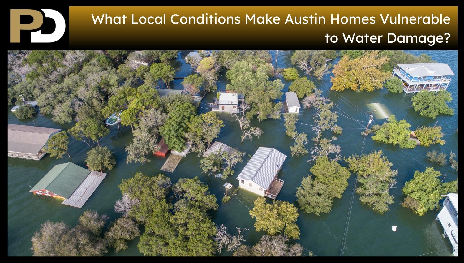
The City of Austin experiences varying rainfall, drainage systems, impervious surfaces, topography, soils, and neighborhood development histories, which translate into different exposure to water for Austin homes. Urban infrastructure, including streets and yards, storm drains, and other systems, is stressed during heavy rain. Urban development alters how water moves across residential landscapes. Water accumulation and time of stay are also affected by differences in elevation and ground conditions. Drainage system differences among neighborhoods stem from varying standards and development dates. These local factors contribute to variability in exposed water in homes throughout Austin, even during the same storm. These factors are city-wide and provide context for Austin’s vulnerability to water damage in residences.
Why Does Austin’s Extreme-Rainfall Potential Increase Water Exposure Around Homes?
Austin’s weather is extremely stormy in short timeframes, placing significant strain on the built environment. High rainfall amounts push more water over roofs, yards, streets, storm drains, and low points at the same time. Short-duration rainfall gives drainage systems less time to manage the volume of water before more comes through the system. This stresses the related system of surfaces and drainage facilities across residential neighborhoods. In an update to earlier design rainfall estimates, NOAA’s Atlas 14 provided new extreme rainfall estimates for Austin. The City of Austin also considers the amount, duration, and intensity of the rainfall as significant in local flooding. These factors matter because the same amount of precipitation creates different demands if it occurs quickly. Austin’s exposure depends on the quantity, intensity, and duration of rainfall events. The city’s built environment must accommodate these different rainfall loads across neighborhoods.
Why Can Local Storm-Drain Limitations Affect Austin Homes Away From Creeks?
Austin’s stormwater system consists of pipes, curb inlets, gutters, roadside ditches, and neighborhood drainage paths that convey water in developed areas. These smaller systems are likely to move stormwater to a larger channel or creek before it reaches it. Their capacity affects drainage from streets and adjacent properties during rain. Water floods in residential areas before flowing to a creek when local drainage infrastructure is insufficient or compromised. Austin Watershed Protection considers these drainage restrictions to contribute to flooding in homes, yards, and roads. This exposes properties not right on the riverbanks to a special risk. A house’s remoteness from the creek is not the only factor in determining its exposure because local drainage systems also affect where water accumulates. Drainage conditions vary between adjoining neighborhoods depending on the size and condition of the systems supplied to them. Water exposure in Austin depends at least partially on the performance of neighborhood drainage routes, rather than simply on proximity to creeks or mapped floodplains.
How Can Impervious Cover Increase Runoff Around Austin Neighborhoods?
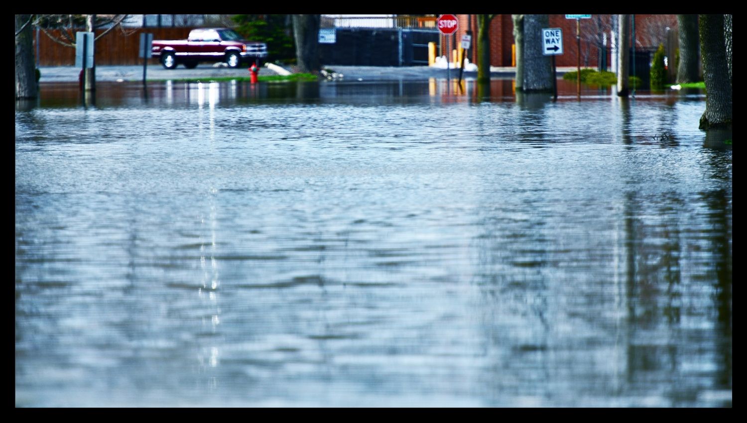
Impervious cover includes surfaces such as roofs, driveways, patios, parking lots, roads, and other impervious surfaces that reduce permeable land surface, which otherwise absorbs rainfall. Adding these surfaces through residential and commercial development increases the proportion of rain that flows across the surface rather than soaking into the ground. This alters how water moves through urban areas and accelerates flow through streets, curb inlets, ditches, low areas, and drainage systems. Austin Watershed Protection defines impervious cover as a major characteristic of urban stormwater because it alters the distribution and movement of rain. The impact extends beyond individual properties through connected surfaces, including roads, buildings, and paved areas across a neighborhood. Water flowing from these surfaces adds more load to local drainage systems. Stormwater conditions vary across different areas of development, even with the same precipitation. Austin’s water-exposure profile highlights impervious cover as a critical factor in the city’s land development and water-flow interactions.
How Can Terrain and Lot Position Change Where Stormwater Collects Around an Austin Home?
Austin’s landscape and lot orientation affect water flow in the residential areas. Water exposure varies between two houses on adjoining properties that are close together but have different elevations, slopes, street position, and surrounding properties. Lower-elevation areas and sites along drainage paths receive water from surrounding ground (water flows along topography). Water movement through an area is also influenced by the location of streets, adjacent lots, and developed surfaces. A property’s placement and its interaction with the environment affect how water flows and pools during rain. The City of Austin considers grading and drainage patterns, slope information, drainage easements, and floodplains during development review because they impact the local water behavior. This variation allows the use of general neighborhood descriptions that do not reflect every property. Terrain differences affect how water flows within each residential area, even when rainfall and public drainage infrastructure are the same.
Why Do Austin’s Different Soil and Ground Conditions Create Uneven Moisture Exposure Around Homes?
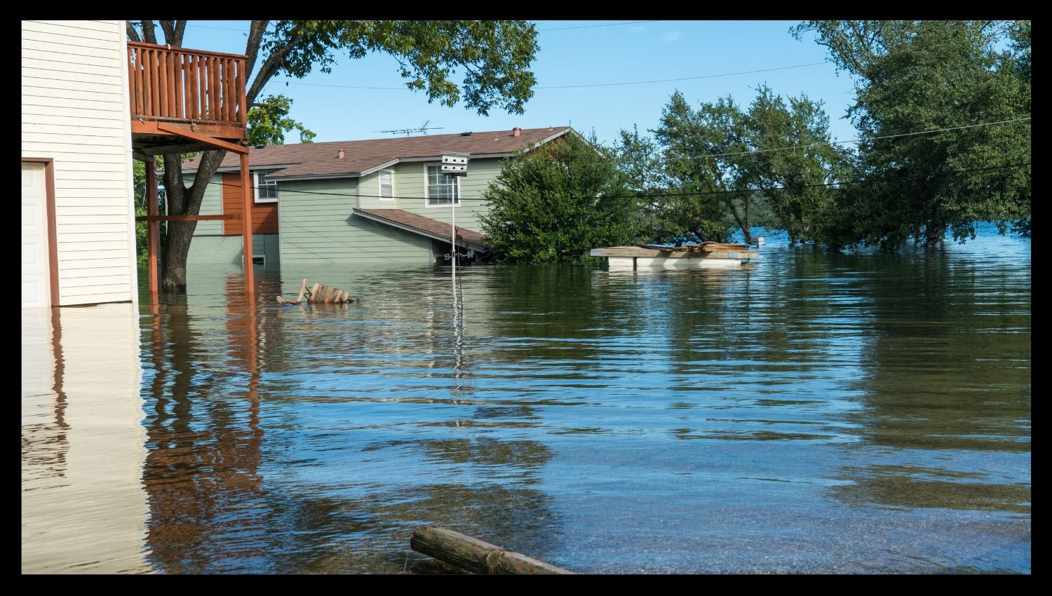
The Austin area is ecologically diverse, with different soil and ground conditions that affect how rain behaves on the ground. Some areas have relatively permeable soil that drains well, while others have dense, clayey soils that absorb water quickly. According to Texas A&M AgriLife’s Travis County guide, Blackland Prairie clays in certain areas of the region are dense, absorb water slowly, and are prone to shrink-swell. USDA soil descriptions also show that soil permeability and runoff depend on soil type and slope. These differences affect infiltration rates and moisture fluctuations within a property or neighborhood. Under favorable conditions, water stays on the surface in soils with low infiltration rates. Other ground settings behave differently because physical properties vary across the region. This variation is partly because homes in different sections of Austin have different rainfall amounts and distinct ground moisture conditions. Soil and ground conditions affect the city’s water-exposure profile beyond storm drain capacity, and impervious cover also matters.
Why Does Neighborhood Development History Matter to Austin Drainage Capacity?
Austin neighborhoods were established at different times, with different planning principles and infrastructure requirements. Residential drainage systems have no uniform design history or design capacity. Austin Watershed Protection reports that some parts of Austin lack sufficient storm drainage infrastructure, including neighborhoods built before the early 1980s. At that time, storm drainage regulations were put in place, as were some neighborhoods annexed to Austin. These differences relate to pipes, curb inlets, roadside ditches, and other public drainage devices that move stormwater. Drainage capacity varies throughout the city because infrastructure was built at different times and did not meet the same standards. Development history is one reason for the different drainage conditions in other residential areas during heavy rainfall. Not being part of a neighborhood or annexation does not automatically mean a neighborhood has adequate drainage. Conditions vary from neighborhood to neighborhood, depending on the real needs of the neighborhoods they serve. One key reason why the drainage capacity of Austin fluctuates and why water exposure at home is not consistent across the city is its history of development.